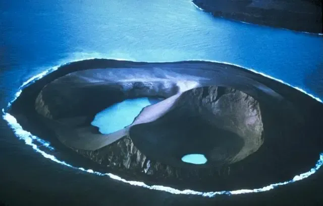
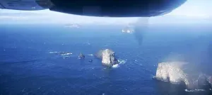
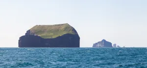
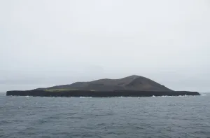
Two water-filled vents cap Jolnir Island on August 22, 1966, less than two weeks after it ceased erupting. Jolnir was formed during repeated submarine eruptions that began in October 1965 immediately SW of the new island of Surtsey (upper right). Jolnir Island was repeatedly built above sea level and then destroyed by erosion before it ceased activity on August 10. No lava flows were produced at Jolnir, and a month after this photo was taken the loosely consolidated ash deposits disappeared beneath the sea for the final time.
Author: Photo by Richie Williams, 1966 (U.S. Geological Survey)., License: Public domain
· Source
Registration is currently only possible with an invite code. Please enter your invite code or use your personal invite link. If you don't have a code, you can request one from us.
 alpha
NOW FEDERATED!
alpha
NOW FEDERATED!