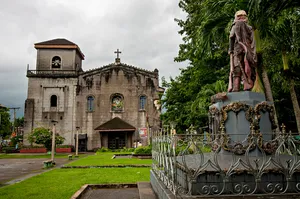
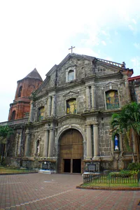
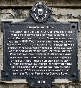
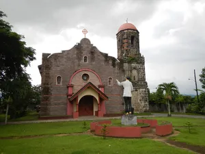
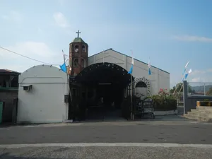
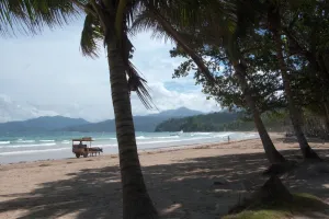
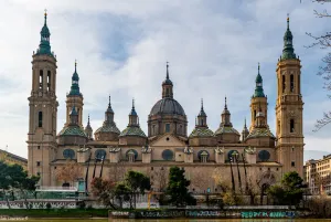
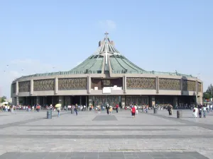
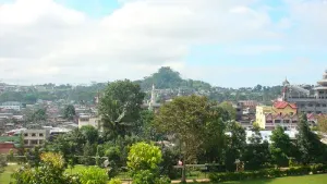
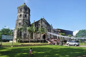
UploadWizard photos --- (general description) of (landmarks, heritage, culture, comprehensive, photography) of --- the --- Poblacion, Lumban Plaza, the --1578 Chuch of Lumbang, [1] Lumban, Laguna[2] -- Saint Sebastian the Martyr Parish Church of Lumban[3] (In 1578 the first Church was built by Father Juan de Plasencia destroyed by Fire; 1889 the Church was restored by Father Manuel Rodriguez. 14° 17.843N 121° 27.547E along the bank of the Lumban River drains out to Laguna Lake. Episcopal District IV [4] -- Roman Catholic Diocese of San Pablo [5] [6] [7] [8] [9] Poblacion, Lumban 4014 Laguna, Philippines Feast day: January 20 Parish Priest: Father Ricardo B. Basquiñez, MFParochial Vicar: Father Judah Ben-hur S. Pigon, MF Episcopal Vicar: Father Leandro L. Bariring, Jr. VICARIATE OF OUR LADY OF GUADALUPE Vicar Forane: Father Noel C. Artillaga.) -- & --- Lumban Municipal Hall (Lumban proper) [10] Coordinates: 14°17'49"N 121°27'33"E [11] [12] Coordinates: 14°17'20"N 121°32'42"E (caliraya springs) -- Lumban, Laguna[13] & --- – Lumban,_Laguna - the Lumban Bridge (BO2469LZ STA.93+880 at Lumban-Caliraya-Cavinti Road[14] -2 lane concrete and steel bridge over the Lumban River connecting all eastern towns of Laguna Coordinates: 14°17'30"N 121°27'34"E [15] is geographically located at latitude(14.2905 degrees) 14° 17' 25" North of the Equator and longitude (121.4582 degrees) 121° 27' 29" East of the Prime Meridian on the Map of the world.[16] Lumban River flows through the towns of Lumban, Pagsanjan, and Cavinti also referred the Pagsanjan-Lumban River) & Lumban River (part of Bumbungan River[17] (originates from the Sierra Madre Mountains, in the highlands of Cavinti town, flowing through the town of Pagsanjan and ending in Lumban where it drains to Laguna de Bay)
Author: Ramon FVelasquez, License: CC BY-SA 3.0
· Source
Registration is currently only possible with an invite code. Please enter your invite code or use your personal invite link. If you don't have a code, you can request one from us.
 alpha
NOW FEDERATED!
alpha
NOW FEDERATED!
![UploadWizard photos --- (general description) of (landmarks, heritage, culture, comprehensive, photography) of --- the --- Poblacion, Lumban Plaza, the --1578 Chuch of Lumbang, [1] Lumban, Laguna[2] -- Saint Sebastian the Martyr Parish Church of Lumban[3] (In 1578 the first Church was built by Father Juan de Plasencia destroyed by Fire; 1889 the Church was restored by Father Manuel Rodriguez. 14° 17.843N 121° 27.547E along the bank of the Lumban River drains out to Laguna Lake. Episcopal District IV [4] -- Roman Catholic Diocese of San Pablo [5] [6] [7] [8] [9] Poblacion, Lumban 4014 Laguna, Philippines Feast day: January 20 Parish Priest: Father Ricardo B. Basquiñez, MFParochial Vicar: Father Judah Ben-hur S. Pigon, MF Episcopal Vicar: Father Leandro L. Bariring, Jr. VICARIATE OF OUR LADY OF GUADALUPE Vicar Forane: Father Noel C. Artillaga.) -- & --- Lumban Municipal Hall (Lumban proper) [10] Coordinates: 14°17'49"N 121°27'33"E [11] [12] Coordinates: 14°17'20"N 121°32'42"E (caliraya springs) -- Lumban, Laguna[13] & --- – Lumban,_Laguna - the Lumban Bridge (BO2469LZ STA.93+880 at Lumban-Caliraya-Cavinti Road[14] -2 lane concrete and steel bridge over the Lumban River connecting all eastern towns of Laguna Coordinates: 14°17'30"N 121°27'34"E [15] is geographically located at latitude(14.2905 degrees) 14° 17' 25" North of the Equator and longitude (121.4582 degrees) 121° 27' 29" East of the Prime Meridian on the Map of the world.[16] Lumban River flows through the towns of Lumban, Pagsanjan, and Cavinti also referred the Pagsanjan-Lumban River) & Lumban River (part of Bumbungan River[17] (originates from the Sierra Madre Mountains, in the highlands of Cavinti town, flowing through the town of Pagsanjan and ending in Lumban where it drains to Laguna de Bay)](/images/articles/67/l/67e8dce14be361284d49e2c3653d668b.webp)