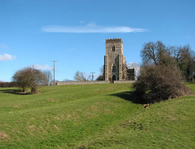
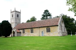
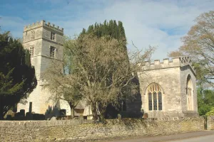
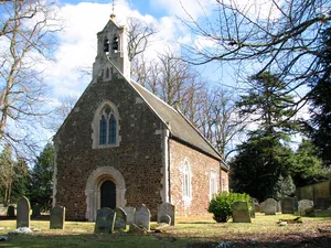
Earthworks below All Saints church. The village of Shouldham > 1738593 is situated about 10 kilometres north-east of Downham Market (South West Norfolk) and has a population of approximately 500. Immediately to the east and north-east of the village, on the south side of the Nar valley bottom which used to be a fen in medieval times, lies the site of the Priory of the Holy Cross and the Blessed Virgin. This site is a designated National Monument and contains the buried remains of monastic buildings, earthwork enclosures and remains of an extensive water management system including fishponds > https://www.geograph.org.uk/photo/1738428. The site can be accessed via the public footpath turning off Eastgate Street > https://www.geograph.org.uk/photo/1738587 and leading to Marham, further to the east, which traverses it. Found within the same area there are also remains of a section of road which is believed to date from Roman times, and a Bronze Age cremation cemetery. For more information see: http://www.magic.gov.uk/rsm/21335.pdf. The church of All Saints > https://www.geograph.org.uk/photo/1738436 stands on an elevation above the site, looking down onto the village.
Author: Evelyn Simak, License: CC BY-SA 2.0
· Source
Registration is currently only possible with an invite code. Please enter your invite code or use your personal invite link. If you don't have a code, you can request one from us.
 alpha
NOW FEDERATED!
alpha
NOW FEDERATED!