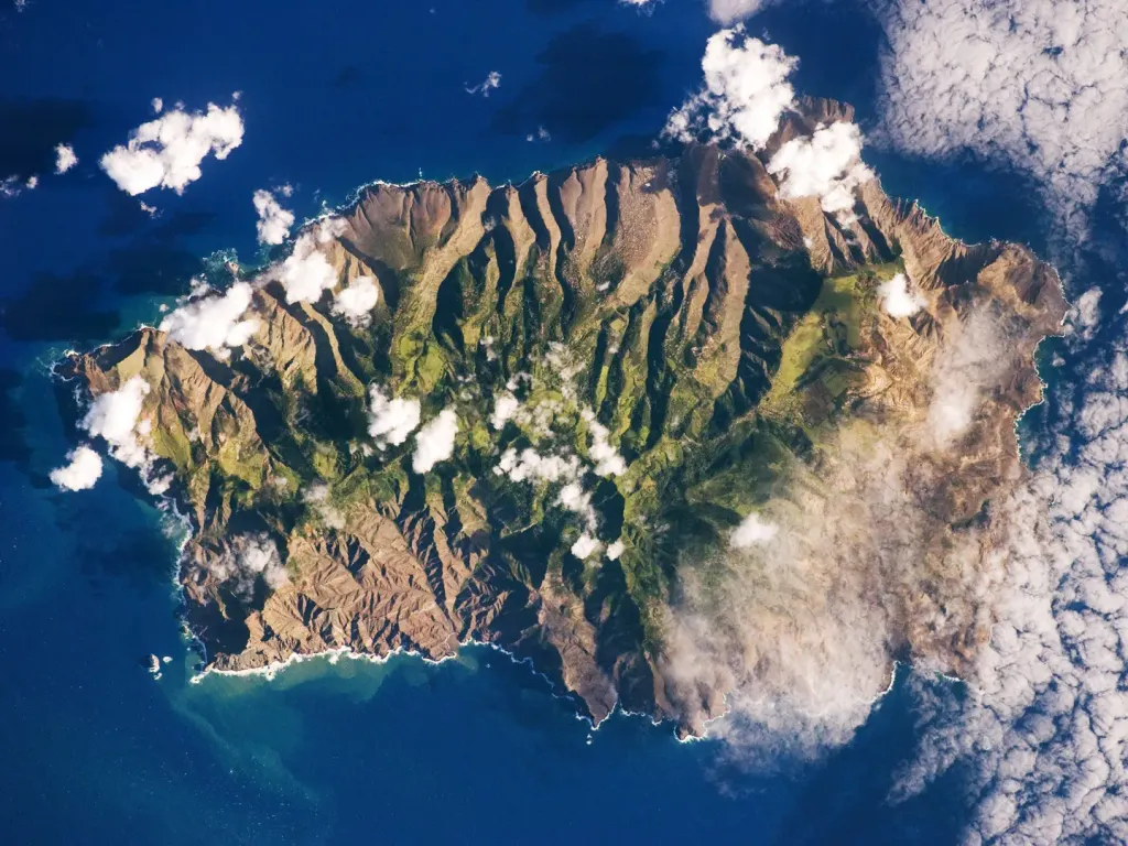
This astronaut photograph shows the island’s sharp peaks and deep ravines; the rugged topography results from erosion of the volcanic rocks that make up the island. The change in elevation from the coast to the interior creates a climate gradient. The higher, wetter centre is covered with green vegetation, whereas the lower coastal areas are drier and hotter, with little vegetation cover.
Author: This image was taken by the NASA Expedition 19 crew., License: Public domain
·
Quelle
Registrierung ist derzeit nur mit Einladung möglich. Bitte gib deinen Einladungscode ein oder nutze den persönlichen Einladungs-Link. Falls du keinen Code hast, kannst du einen bei uns anfragen.
 alpha
NOW FEDERATED!
alpha
NOW FEDERATED!