Stuur de link door. In chat en e-mail verschijnen de titel en foto van het artikel erbij.
https://mostlyharmless.travel/articles/sulawesi
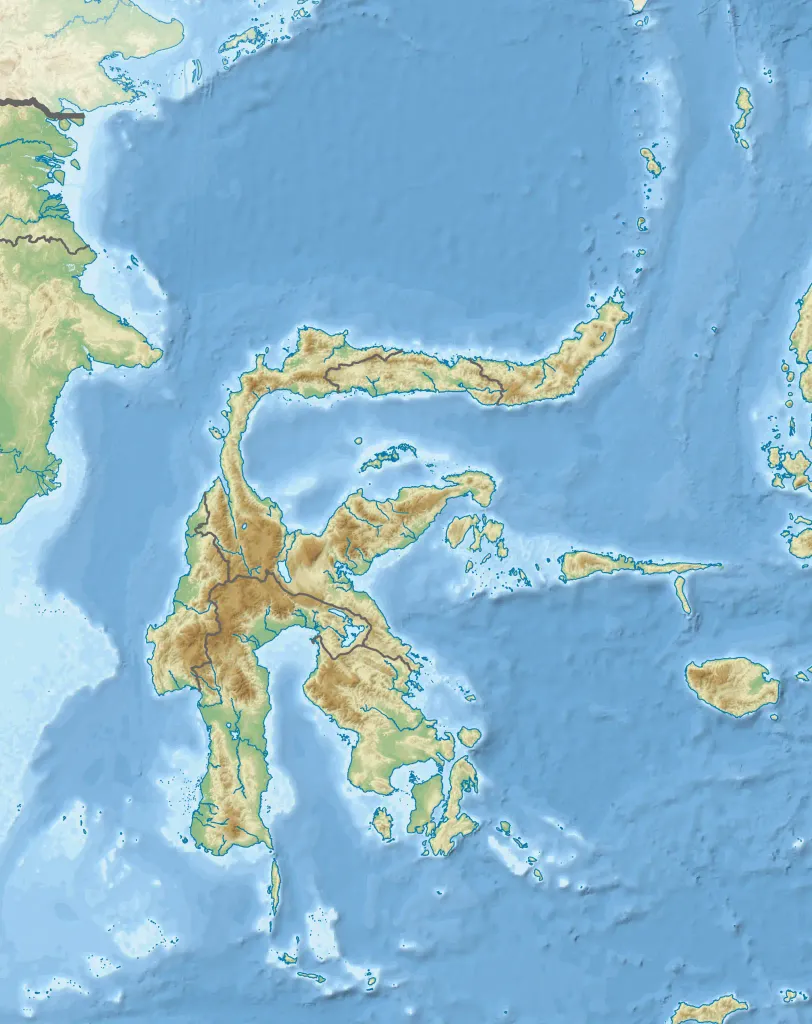
Topographic map of Sulawesi with administrative borders and surrounding islands belonged to the provinces in the island, including Liukang Tangaya and Masalima, South Sulawesi, Bala Balakang, West Sulawesi, and Miangas, North Sulawesi. I did not add maritime borders because I did not find any official sources in regards to it.
Author: RXerself, License: CC BY-SA 4.0
·
Bron
Registreren kan momenteel alleen met een uitnodigingscode. Vul je code in of gebruik je persoonlijke uitnodigingslink. Heb je geen code, dan kun je er een bij ons aanvragen.
 alpha
NOW FEDERATED!
alpha
NOW FEDERATED!