Надішліть посилання. У чаті та листі з’являться назва й фото статті.
https://mostlyharmless.travel/articles/seceani
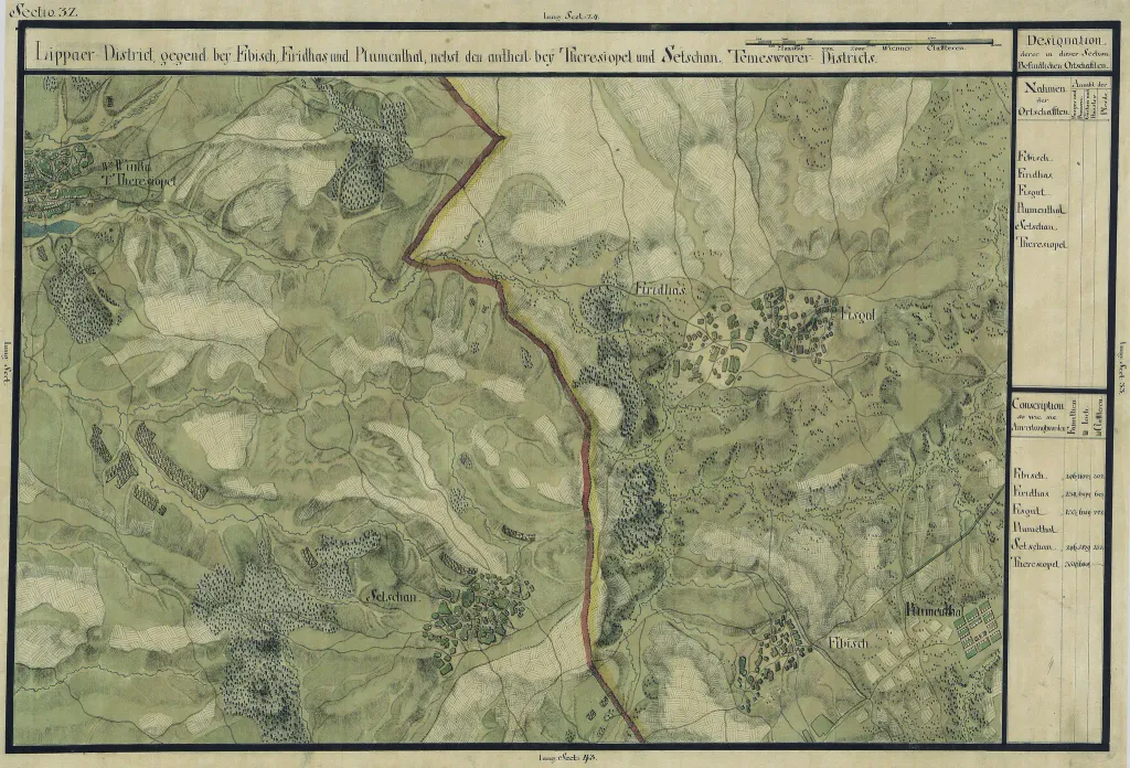
The Banat region in the cadastral maps: Josephinische Landesaufnahme, 1769-72. Josephinische Landaufnahme pg032
Author: Historische Militärkarte der österreichisch-ungarischen Monarchie, License: Public domain
·
Джерело

 alpha
NOW FEDERATED!