Reenvía el enlace. En el chat y el correo aparecen el título y la foto del artículo.
https://mostlyharmless.travel/articles/dezeti
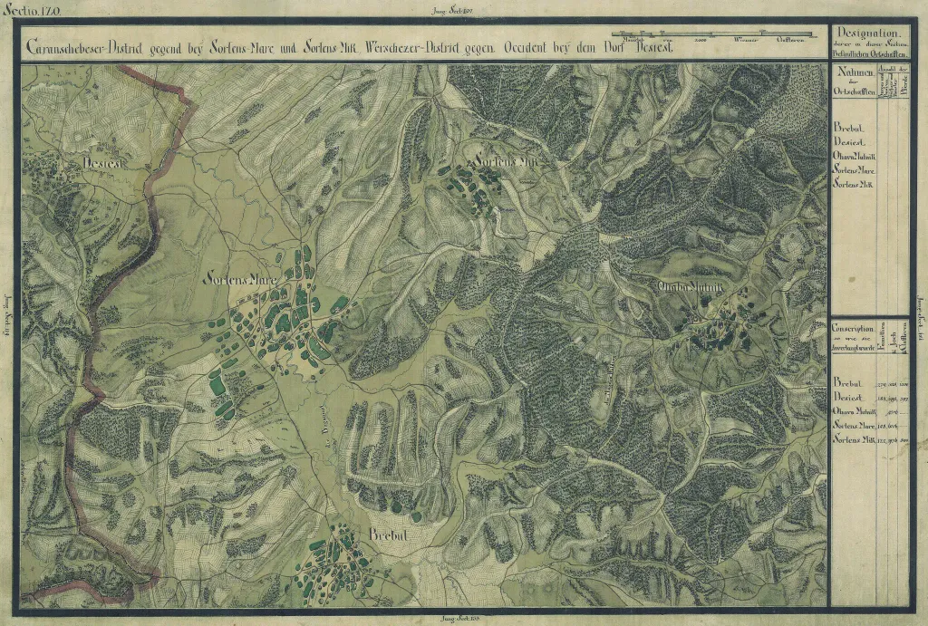
The Banat region in the cadastral maps: Josephinische Landesaufnahme, 1769-72. Josephinische Landaufnahme pg120
Author: Historische Militärkarte der österreichisch-ungarischen Monarchie, License: Public domain
·
Fuente
La registración actualmente solo es posible con un código de invitación. Por favor, ingrese su código de invitación o use su enlace de invitación personal.
 alpha
NOW FEDERATED!
alpha
NOW FEDERATED!