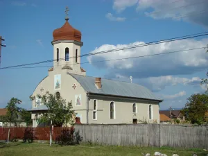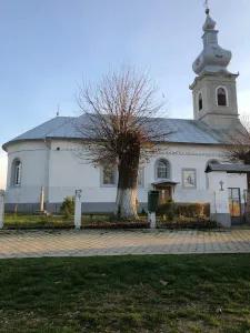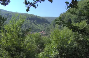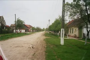
Scăiuș
village in Caraș-Severin County, Romania...
 alpha
NOW FEDERATED!
village in Caraș-Severin County, Romania...
village in Caraș-Severin County, Romania...
village in Timiș County, Romania...
village in Timiș County, Romania...
village in Caraș-Severin County, Romania...
village in Caraș-Severin County, Romania...
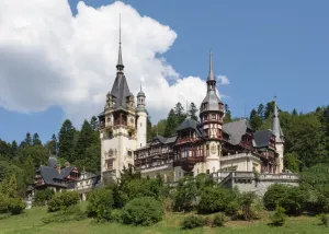
Neo-Renaissance royal castle in Sinaia, Romania...
village in Maramureș County, Romania...
village in Harghita County, Romania...
village in Timiș County, Romania...
village in Sibiu County, Romania...
city in Suceava County, Romania...