Persiųskite nuorodą. Pokalbyje ir laiške matysis straipsnio pavadinimas ir nuotrauka.
https://mostlyharmless.travel/articles/kutha
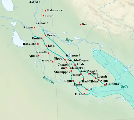
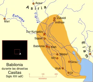
Map of the main cities of Lower Mesopotamia during the Ur III period (c. 2100-2000 BC), with the approximate course of the rivers and the ancient shoreline of the Gulf.
Author: Near_East_topographic_map-blank.svg: Sémhur derivative work: Zunkir (talk), License: CC BY-SA 3.0
·
Šaltinis
Registracija šiuo metu yra galima tik su invitacijos kodu. Įveskite savo invitacijos kodą arba naudokite savo asmeninį invitacijos tinklalapį. Jei neturite kodo, galite jį prašyti iš mūsų.
 alpha
NOW FEDERATED!
alpha
NOW FEDERATED!